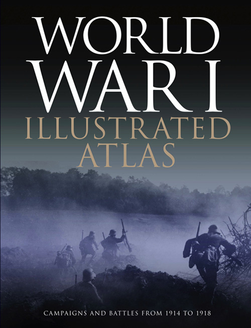
The World War I - Illustrated Atlas
de: Michael S. Neiberg
Publicat de: Amber Books
Anunta-ma cand revine pe stoc!
World War I might conjure up images of the trenches of the Western Front where the fighting raged for nearly four and half years, but this was only part of what was truly a world war. It was a complex conflict fought in a number of theatres: an air war, a land war fought in the Balkans, Italy, Africa, Turkey and the Middle East, and also a naval war fought in the North Sea, South Atlantic, South Pacific and Indian Oceans. The ‘Great War’ introduced killing on an unprecedented scale and resulted in the loss of millions of lives. World War I Illustrated Atlas is a comprehensive visual guide to this complex conflict. In fine detail, it plots the exact course of the land, sea and air campaigns, enabling the reader to trace the ebb and flow of the fortunes of all sides. With more than 180 full-colour maps, every theatre of war is covered – from the Western Front to Penang, from Gallipoli to Galicia, from Dogger Bank to Dalmatia, from Romania to Rhodesia and from the Falklands to Togo and the Sinai desert. All the maps have been specially commissioned from an expert cartographer. Each map is designed to highlight a particular aspect of the war – thus maps vary in shape and size, with some giving a global perspective while others depict the exact movement of armed forces on land, sea or in the air. Battles such as Jutland, the Somme, Cambrai and the Gallipoli campaign are shown in great detail. All maps are accompanied by an explanatory key. With expert, accessible text and accompanying archival photographs, this complete atlas provides an invaluable work of reference for both the general reader and the serious student of World War I.Michael S. Neiberg is Professor of History and Chair of War Studies at the United States Army War College in Carlisle, Pennsylvania. His published work specializes on the First and Second World Wars in global context. The Wall Street Journal named his Dance of the Furies: Europe and the Outbreak of World War I (Harvard University Press) one of the five best books ever written about that war. In October 2016 Oxford University Press published his Path to War, a history of American responses to the Great War in Europe, 1914-1917 and in July 2017 Oxford published his Concise History of the Treaty of Versailles. In 2017 he was awarded the Medaille d'Or du Rayonnement Culturel from La Renaissance Francaise, an organization founded by French President Raymond Poincare in 1915 to keep French culture alive during the First World War.
| General | |
| Anul | 2022, 2021 |
| Autor | Michael S. Neiberg |
| Categoria | World War I |
| Dimensiuni | H: 26.3cm | l: 20.3cm |
| Editie | Hardcover |
| Editura | Amber Books |
| ISBN | 9781838860912 |
| Limba | Engleza |
| Pagini | 192 |
| Format | Hardcover |
RECENZII The World War I - Illustrated Atlas de Michael S. Neiberg
Nu exista inca nicio recenzie scrisa!